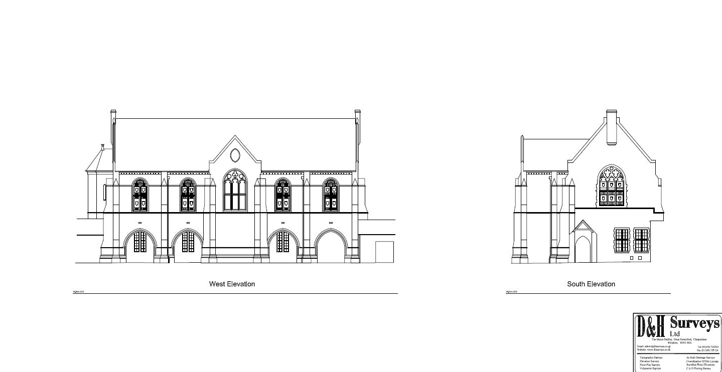
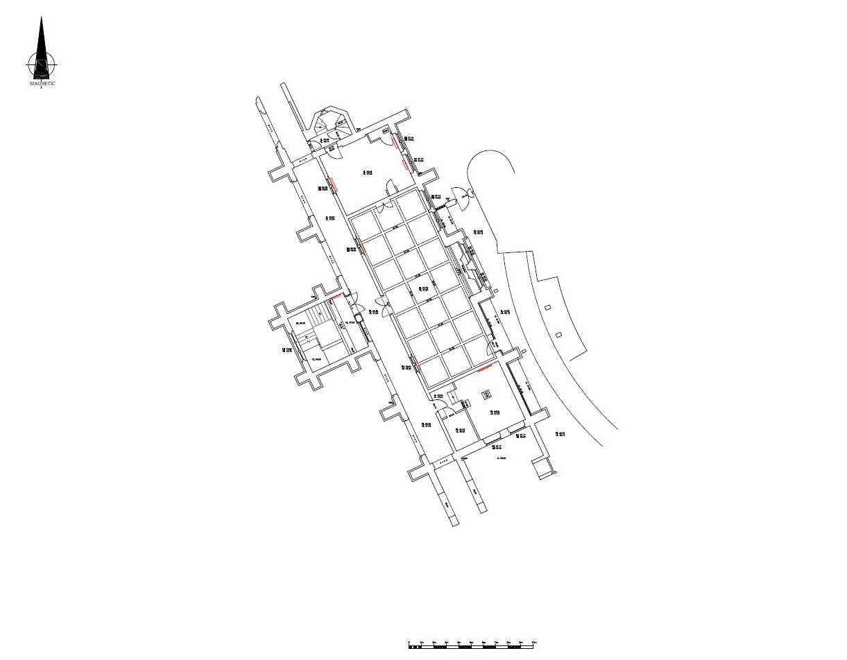
Our brief was to supply floor plans & external elevations of a Grade II listed building in Oxford.
Using static 3D scanners the building was mapped into our scene software where the data was geo-located onto National Grid & Datum, then this point cloud info was imported into Acad where we extracted the required 2D Floor Plans and Elevations at both 1:50 & 1:100 scales.